vessel 'DUNE' IMO: 9449510, vesseltracker.com
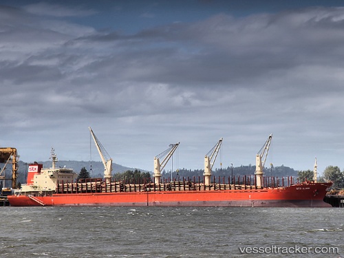
Vessel 'DUNE' IMO: 9449510,
MMSI: 372457000 callsign: size: x

Find the position of the vessel 'DUNE' on the map. The latter are known coordinates and path.

marine traffic ship tracker show on live map

The current position of vessel 'DUNE' is 22.997 lat / 70.2242 lng. Updated: 2023-09-18 08:38:53 UTC
Details:


Last coordinates of the vessel:
2023-09-18 08:38:53 UTC, 22.997, 70.2242, course: 176, speed: 0

Track of the vessel in the last 14 days


Most frequent ports a vessels calls at 'DUNE' (372457000):

Tauranga, traffic: 6
Singapore, traffic: 5
Whangarei, traffic: 4
Yeosu, traffic: 3
Yosu, traffic: 3
Wusong, traffic: 2
Richmond, traffic: 2
Benicia, traffic: 2
Chittagong, traffic: 2
Kao-Hsiung Kang, traffic: 2
Torres Strait, traffic: 2
Manila, traffic: 2
Nakhodka, traffic: 2
Napieir, traffic: 2
Wu-Sung, traffic: 2

Link to the map:


Find another ship

'DUNE' (372457000) last ports (portcalls and passsages)

Kao-Hsiung Kang | 2022-12-28 11:21:53
Tso-Ying | 2022-12-24 17:16:21
Kao-Hsiung Kang | 2022-12-24 11:12:11
Port Headland | 2022-12-11 20:59:03
Dampier | 2022-12-07 05:59:11
Selat Lombok | 2022-11-29 11:39:11
Sambu | 2022-11-23 14:02:25
Singapore | 2022-11-22 08:46:21
Singapore | 2022-11-18 08:01:57
Chittagong | 2022-11-09 05:42:00
Chittagong | 2022-11-05 02:59:54
Singapore | 2022-10-18 02:00:08
Richmond | 2022-09-13 19:52:43
Richmond | 2022-09-09 19:34:00
Benicia | 2022-08-30 19:11:52
Benicia | 2022-08-25 16:51:10
Los Angeles | 2022-08-21 16:03:53
Whangarei | 2022-06-11 07:41:46
Whangarei | 2022-06-07 07:24:11
Whangarei | 2022-06-03 07:15:39
Whangarei | 2022-05-30 07:11:41
Tauranga | 2022-05-25 14:01:53
Tauranga | 2022-05-21 13:23:12
Yosu | 2022-04-20 00:45:26
Wusong | 2022-04-08 12:30:09
Tauranga | 2022-03-07 08:51:02
Napieir | 2022-02-25 11:14:36
Tauranga | 2022-02-18 21:50:01
Torres Strait | 2022-02-04 18:19:06
Singapore | 2022-01-17 11:45:38
Manila | 2022-01-07 17:35:37
Nakhodka | 2021-12-19 10:20:20
Yosu | 2021-12-13 02:41:37